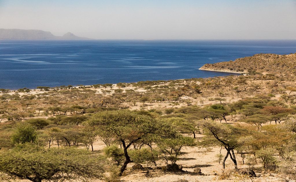
PaceTwo or three days lets you stop at each lake on the way to Hawassa without rushing. The valley floor is warmer than Addis; start early and rest at midday. Other plates in this section.
The Great Rift Valley cuts Ethiopia in two from north-east to south-west, and south of Addis Ababa its floor holds a string of lakes. They sit only a few hours apart along the main road south, but no two are alike. Some are fresh and full of fish, others are soda lakes too salty to drink; some are shallow and fringed with birds, one is among the deepest in the country. Driving south past them is the usual start of any trip to the Bale Mountains, to Konso or to the far south, and the lakes are worth time of their own.
Leaving Addis and dropping into the Rift
From Addis Ababa, the road heads south-east past Debre Zeyit, also called Bishoftu, a town surrounded by small crater lakes that make a good first stop, then turns south and descends gradually into the valley. An expressway now covers part of the route and has cut the driving time. As you lose height, the air grows warmer and drier, the eucalyptus gives way to acacia, and the fields of teff and maize open out across the valley floor. Most of the lakes lie between about 1,550 and 1,750 metres, several hundred metres below the capital.
Lake Ziway
The first of the large lakes is Ziway, beside the town of Batu, also still widely known as Ziway. It is a freshwater lake, shallow and muddy brown, with papyrus along the shore and several islands. Fishermen bring in their catch on the shore near the town, and the waterside draws marabou storks, pelicans, herons and fish eagles, so a walk along the shore is good for birds.
Ziway is also the start of the farming country of the valley floor, with greenhouses, irrigated fields and orchards along the shore. The lake supplies water for much of this, and its level and quality are watched closely. A short boat ride from the shore often turns up hippos in the shallows, along with more waterbirds than you see from land.
The islands of Ziway hold old monasteries, and one of them, Tullu Gudo, is linked to a tradition that the Ark of the Covenant was hidden there for a time to keep it safe, before being returned to Axum. Visits to the islands are made by boat from town, take most of a day, and depend on local arrangements; ask in Batu before you plan on one.
Lake Langano
A little further south lies Langano, a large lake whose water is the colour of strong tea because of fine suspended sediment. It is commonly said to be free of bilharzia, the parasite found in many African lakes, which has made it a popular weekend escape for people from Addis, with places to swim and simple beaches along the shore. Ask locally and use your own judgement before swimming in any lake in the region. The eastern shore looks across to the Arsi mountains, and the woodland around the lake has good birdwatching, including hornbills and turacos.
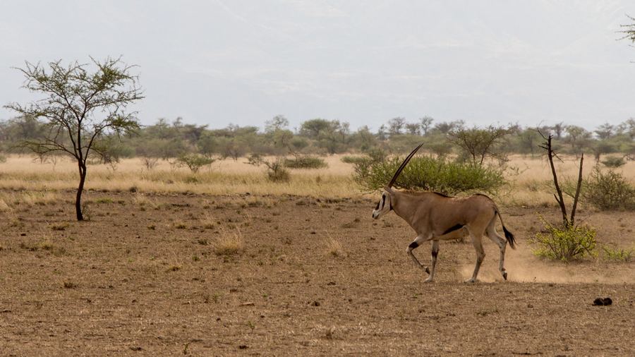 Plate 12 · AwashAwash, where the highlands drop to the plains
Abijatta-Shalla: flamingos and hot springs
Next to Langano, two very different lakes make up Abijatta-Shalla National Park. Abijatta is shallow and alkaline, and its fringes can hold large flocks of lesser and greater flamingos, along with pelicans and many waders. The lake has shrunk significantly in recent decades as water has been taken for irrigation and for soda ash extraction, and the numbers of birds vary a great deal with the water level and the season. Ask at the park entrance where the birds are gathering before you set off.
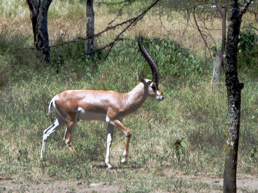
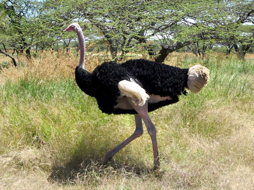
Shalla, on the other side of a low ridge, is a deep crater lake, among the deepest in Ethiopia, with steep shores and islands used by breeding birds. On its northern shore, hot springs bubble up at the water's edge, and local people come to bathe in the hot water; the springs are very hot in places, so test them carefully. Between the two lakes, a viewpoint on the ridge looks out across both. The acacia woodland of the park also holds Grant's gazelles and ostriches, often seen close to the track. Park entry fees apply and a park scout may accompany you.
Hawassa: fish market and birds
Hawassa is the largest town on the route, a lively regional capital on the shore of the lake of the same name, the last of the central freshwater lakes on this road. The best time to come to the waterfront is early morning, when fishermen land their catch at the fish market at Amora Gedel on the edge of town. Tilapia and catfish are sold and cleaned on the spot, marabou storks crowd the ground waiting for scraps, and pelicans and fish eagles keep watch from the trees.
A path along the lakeshore makes for good birdwatching, with kingfishers, herons and hornbills, and colobus monkeys sometimes in the trees. Boats can take you out to look for hippos; agree on the price and time beforehand, and check that life jackets are on board. Tabor hill above town gives a view over the lake and the surrounding farmland.
On down the road south
From Hawassa, the main road continues to the coffee country of Sidamo and Yirgacheffe, while other roads lead east towards Shashemene and the Bale Mountains, or south-west towards Arba Minch, its two lakes, and Konso. The lakes make a gentle first few days for a southern trip, warm enough for swimming on hot afternoons and easy on the legs after the highlands.
Distances in the Rift are longer than they look, and roads can be slow with trucks, livestock and people walking. Avoid driving after dark. Parts of Oromia and the south have been affected by insecurity at times in recent years.
Images on this page: Ninara (CC BY 2.0); D-Stanley (CC BY 2.0); D-Stanley (CC BY 2.0); jeanotr (CC BY 2.0).