The northern loop
Churches, castles and stelae, usually flown or driven as a circle from Addis.
Highlands and lowlands
Walking country above 3,000 m, and the hottest ground on earth below sea level.
- Simien MountainsVaries, about 2,800-4,550 m
- Bale MountainsVaries, about 1,500-4,377 m
- DanakilVaries, from about -120 m to 613 m
- Rift ValleyAbout 1,550-1,750 m
- WenchiRim above 3,000 m
- AwashPlains near 900 m, Fantale about 2,000 m
Towns, customs, Addis
The south's terraces, the walled city in the east, and the capital in between.
- KonsoRoughly 1,500-2,000 m
- HararAbout 1,850 m
- The festivalsVaries, 1,800-2,600 m
- CoffeeForests roughly 1,500-2,500 m
- InjeraHighland table, mostly 1,800-2,600 m
- Addis AbabaAbout 2,350 m
- Calendar and clockVaries across the country
- Building a circuitVaries, below sea level to 4,500 m
Thirteen months, a New Year in September, a calendar seven or eight years behind the Gregorian one and a clock that starts at dawn: Ethiopia keeps its own time. Read the calendar and clock plate before you fix a single date.
Ethiopia Tour Atlas
Twenty plates for planning a journey through the highlands, the Rift and the desert.
Ethiopia rewards people who plan around three things: altitude, distance and the calendar. The great sites of the north sit at 2,000 to 2,600 metres, the Simien and Bale trails climb past 4,000, and the Danakil drops below sea level. Roads are long, the rains fall from June to September, and the biggest festivals fill towns for days.
Each plate covers one place or one subject: what is there, how long to give it, how the altitude and road time feel, and what to carry. None of it is a sales page.
The historic north
Rock-hewn churches, castles, stelae and island monasteries along the old northern loop: Lalibela, Gondar, Axum, Lake Tana, Tigray and Debre Libanos.
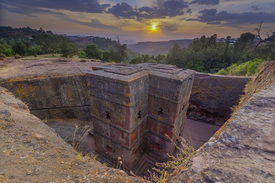 ፩ · 01LalibelaLalibela, where the churches go down into the rock
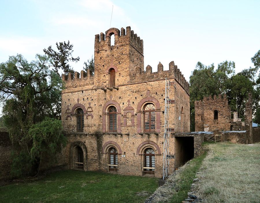 ፪ · 02GondarGondar, the castle city of the emperors
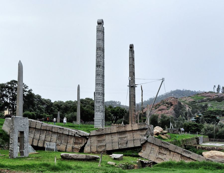 ፫ · 03AxumAxum and the field of standing stones
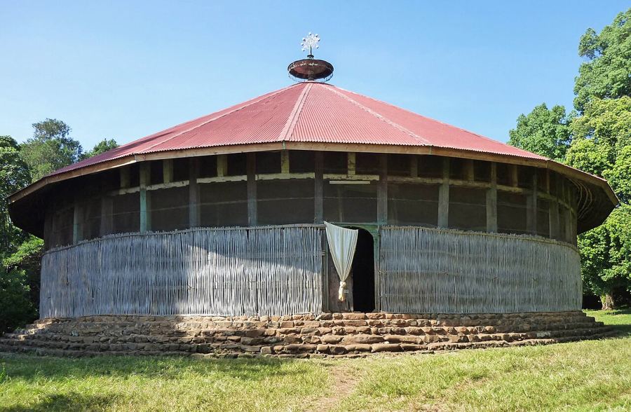 ፬ · 04Bahir DarLake Tana's island churches and the falls of the Blue Nile
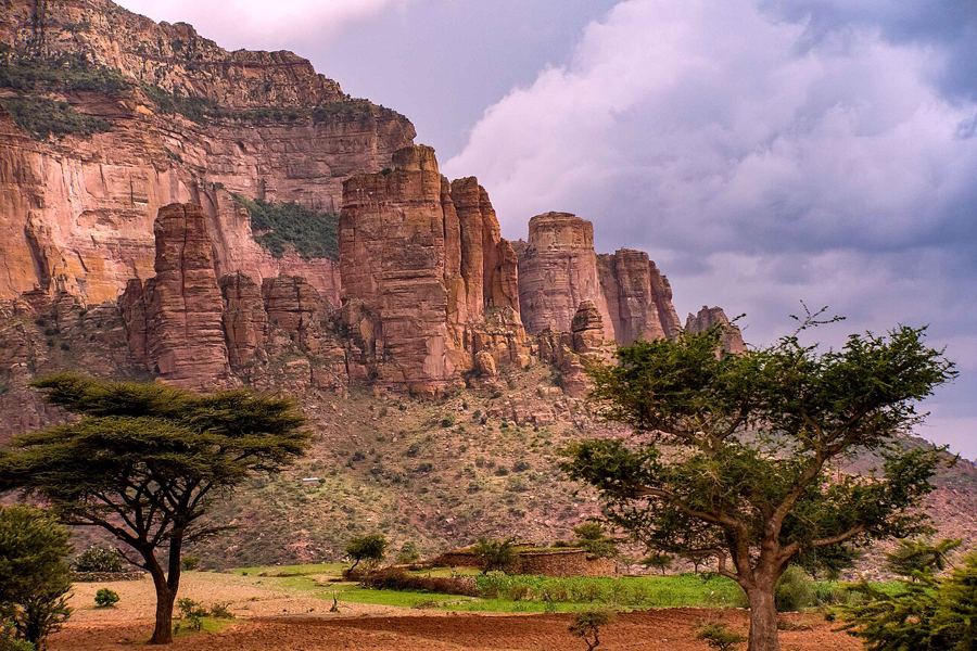 ፭ · 05GheraltaThe cliff churches of Tigray
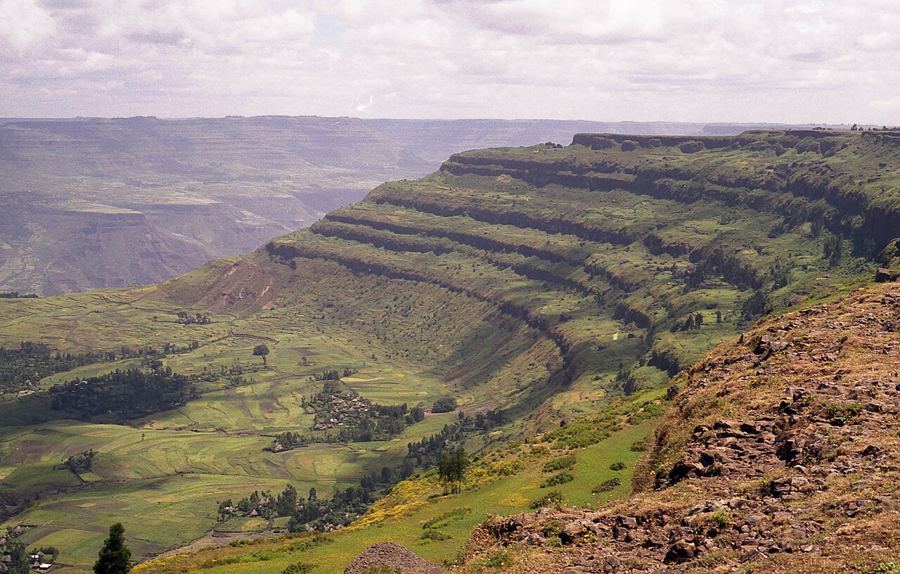 ፮ · 06Debre LibanosDebre Libanos and the edge of the Jemma gorge
Mountains, rift and desert
From the Simien escarpment and the Bale plateau down to the Danakil's salt and the lakes and plains of the Rift Valley.
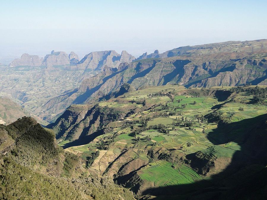 ፯ · 07Simien MountainsWalking the edge of the Simien escarpment
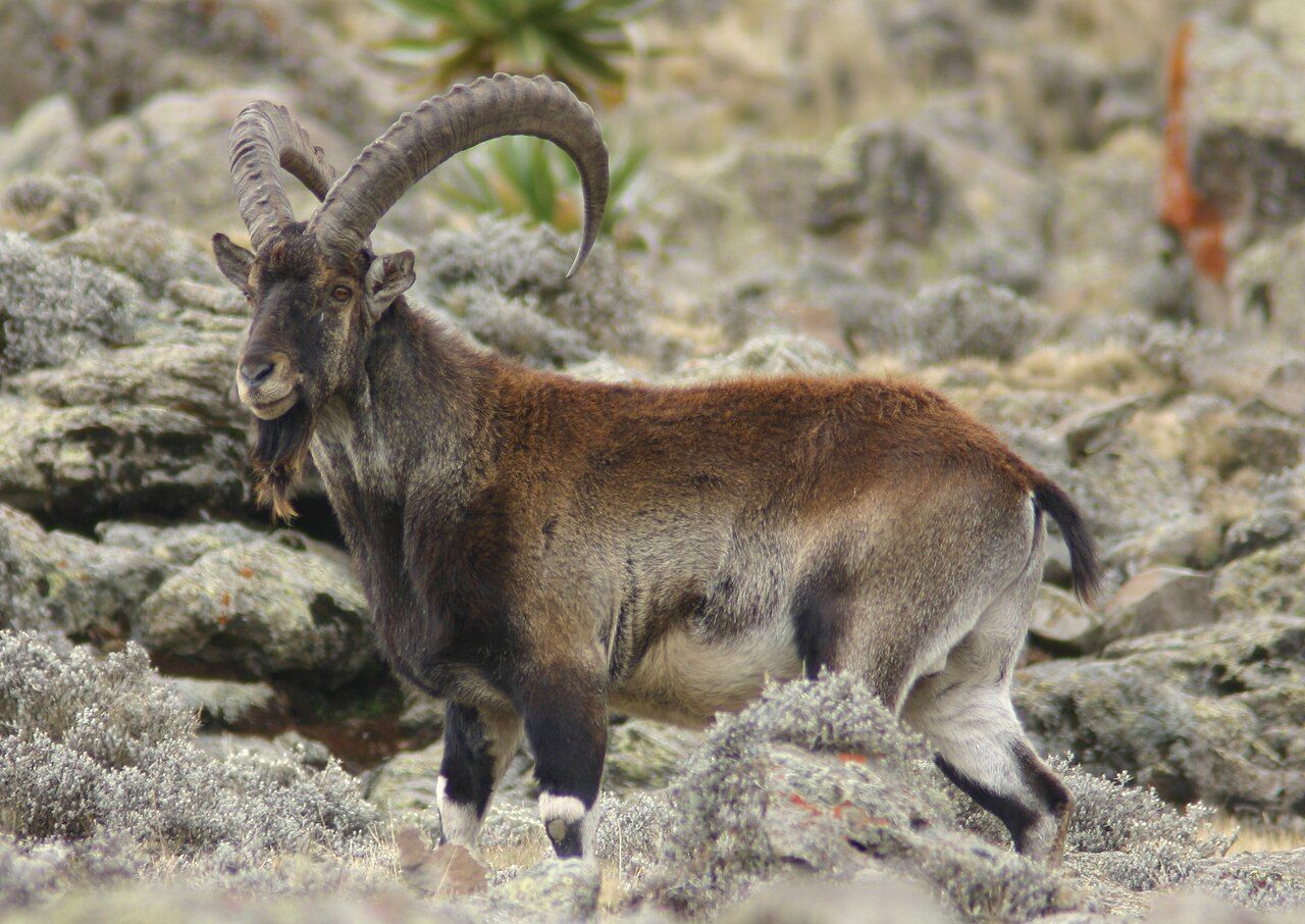
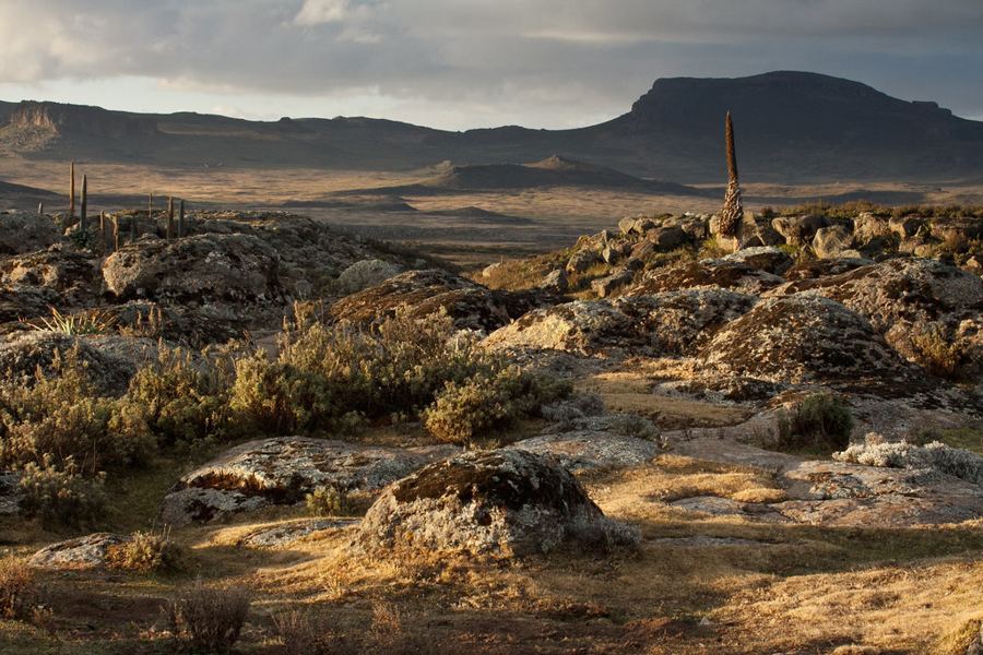 ፰ · 08Bale MountainsThe Bale Mountains, home of the Ethiopian wolf
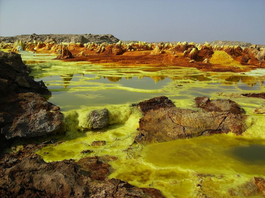 ፱ · 09DanakilThe Danakil Depression, below the sea and above the fire
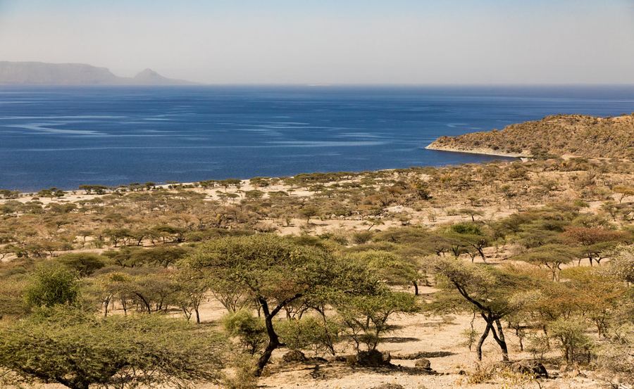 ፲ · 10Rift ValleySouth through the Rift Valley lakes
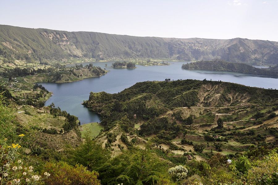 ፲፩ · 11WenchiWenchi, a lake in the bowl of an old volcano
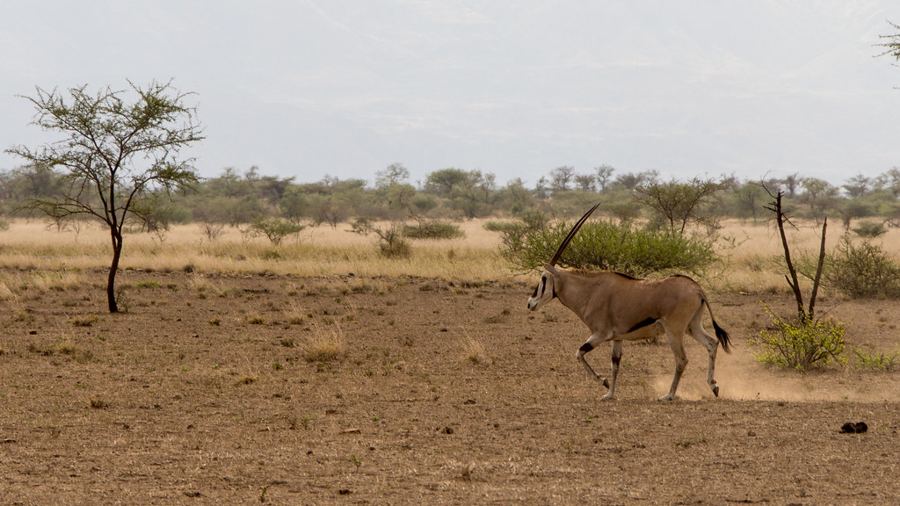 ፲፪ · 12AwashAwash, where the highlands drop to the plains
Customs, cities and the table
Konso's terraces, Harar's walls, the great festivals, the coffee ceremony and the fasting table.
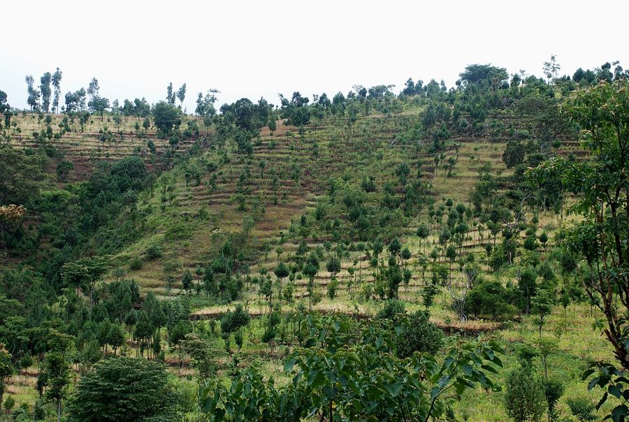 ፲፫ · 13KonsoKonso, a landscape built stone by stone
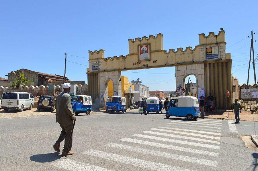 ፲፬ · 14HararHarar Jugol, the walled city of the east
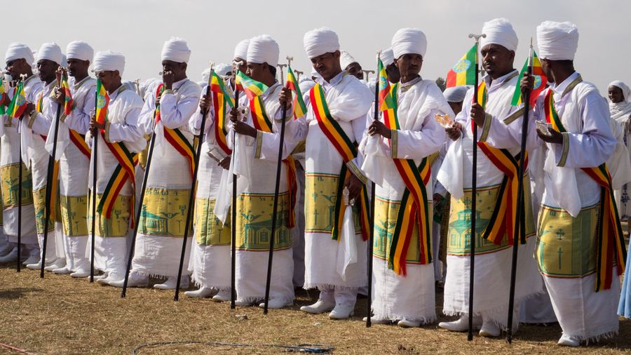 ፲፭ · 15EthiopiaTimkat, Meskel and Genna, the year's great feasts
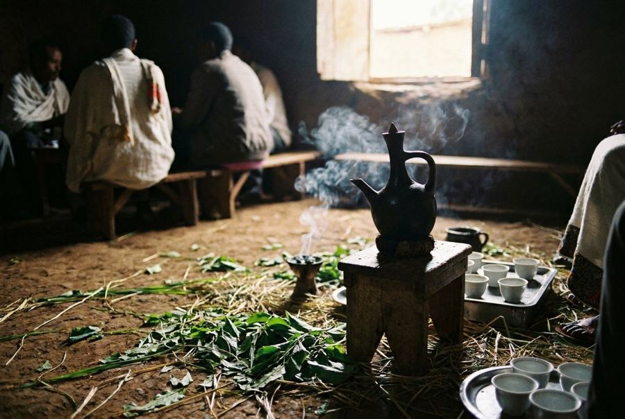 ፲፮ · 16KaffaCoffee, from the forest to the ceremony
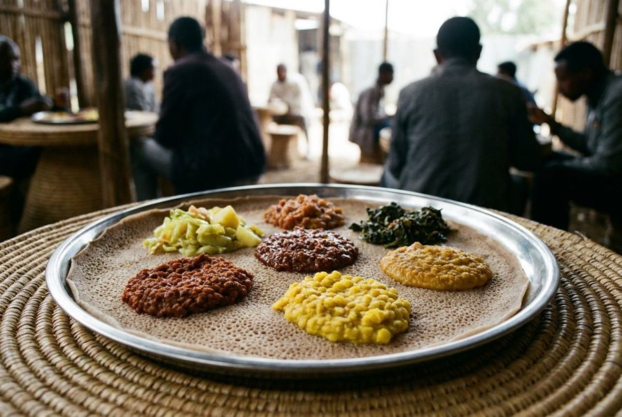 ፲፯ · 17EthiopiaInjera and the fasting table
Planning the circuit
Addis Ababa between legs, the Ethiopian calendar and clock, and how to put a circuit together.
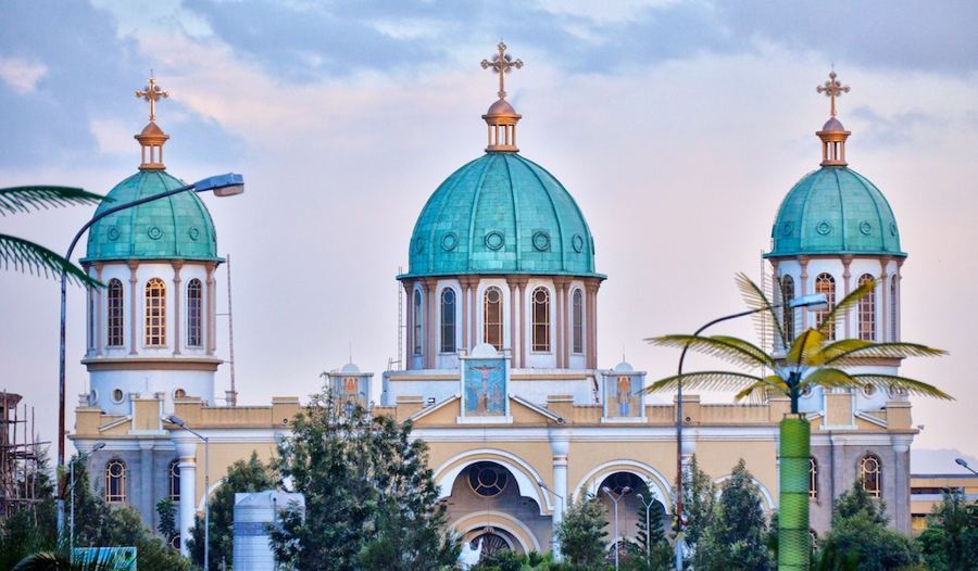 ፲፰ · 18
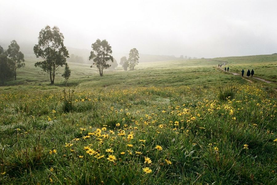 ፲፱ · 19
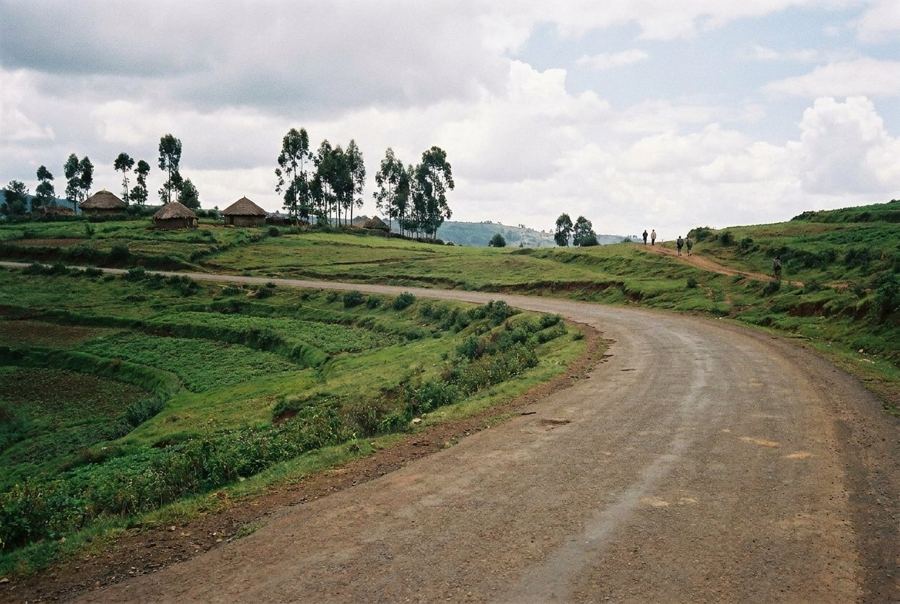 ፳ · 20
Give the altitude a day
Addis sits around 2,350 metres. Walk slowly, drink water and keep the first evening quiet before a highland trek.
Dress for churches
Cover shoulders and knees, carry socks for the stone floors where shoes come off, and ask before photographing priests or worshippers.
Count the hours from dawn
Ethiopian time starts the day at about six in the morning, so seven a.m. is one o'clock locally. Ask which clock a time is given in.
Images on this page: Leonard A. Floyd (CC0 1.0); Thomas Fuhrmann (CC BY-SA 4.0); Sailko (CC BY 3.0); Rod Waddington from Kergunyah, Australia (CC BY-SA 2.0); Bernard Gagnon (CC BY-SA 3.0); Rod Waddington from Kergunyah, Australia (CC BY-SA 2.0); Ron Knight from Seaford, East Sussex, United Kingdom (CC BY 2.0); Bernard Gagnon (CC BY-SA 3.0); Petr Meissner (CC BY 2.0); Achilli Family | Journeys (CC BY 2.0); Ninara (CC BY 2.0); DeDuijn (CC BY-SA 4.0); jeanotr (CC BY 2.0); JosepMGracia (CC BY-SA 4.0); Francisco Anzola (CC BY 3.0); jeanotr (CC BY 2.0); Rod Waddington (CC BY-SA 2.0)


