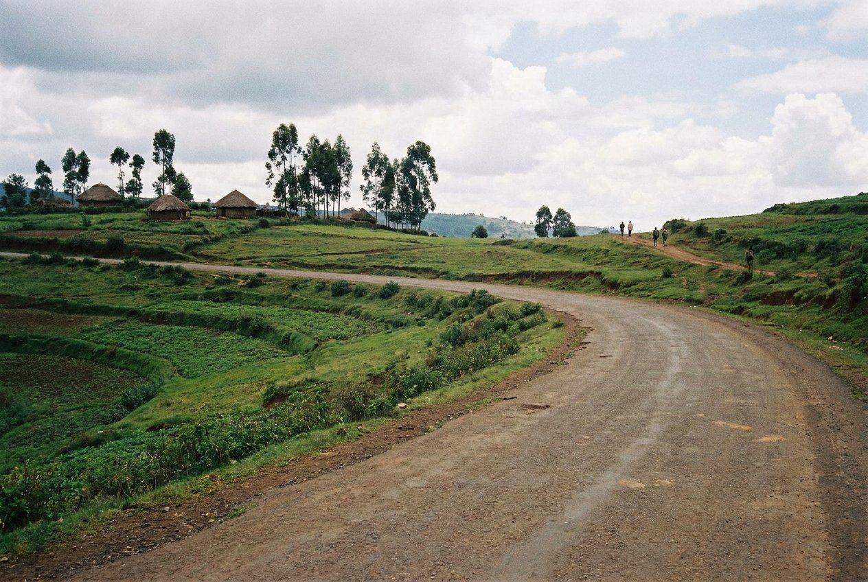
PaceTwo weeks covers one circuit well; three to four allows two. Build in rest days after long drives and early starts, and add slack around festivals. Other plates in this section.
Ethiopia is a big country with mountains in the middle, a desert in the north-east, lakes and forests to the south and a city of walls in the east. Distances on the map hide long, slow roads and great changes in altitude. Most travellers choose one circuit, or two at most, and plan around the seasons rather than trying to see everything in one trip. This guide sets out the main options in general terms.
Choose the circuit first
Travellers usually think of Ethiopia in three broad circuits from Addis Ababa: the historic north, the south, and the east. Each needs at least a week to see properly, and the north alone can fill two. Ask yourself what you most want: churches and castles, mountains and wildlife, people and markets, or food and city life. Then pick the circuit that holds it, and add short trips from the capital at either end. A crater lake, a monastery above a gorge or a day in the hills north of the city all fit into the gaps between flights.
Start and finish in Addis Ababa, and use the first day there to rest and acclimatise. A few days in the capital, with its museums and markets, also give you a background for everything else. If time is short, one circuit done well is better than two in a rush.
The north by air or by road
The northern historic circuit is a loop through Bahir Dar and Lake Tana, Gondar, the Simien Mountains, Axum, the cliff churches of Tigray and Lalibela. Domestic flights connect the main towns with Addis Ababa and each other, which turns a two-week road trip into one of ten days or less. Flying saves time and long drives, but you see less of the countryside.
By road, the loop is long and slow, with mountain passes, roadworks and checkpoints. It rewards those with more time: the landscapes between the towns are among the finest in the country. Many travellers mix the two, flying some legs and driving others. Trekking in the Simien Mountains adds several days, and requires park permits and a scout, arranged in advance or locally.
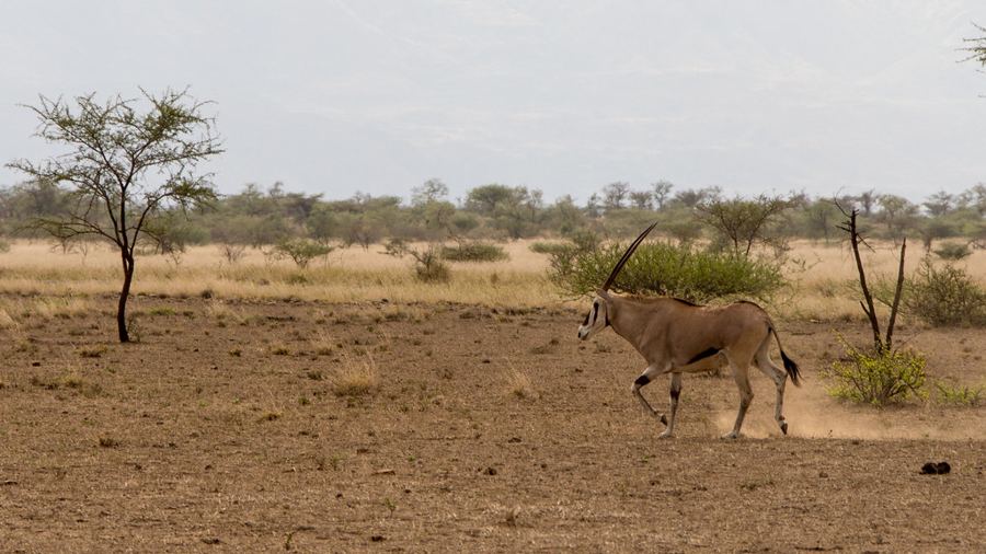 Plate 12 · AwashAwash, where the highlands drop to the plains
The south and the east
The southern circuit follows the Rift Valley south through its chain of lakes towards Arba Minch, Konso and the Omo Valley, with possible side trips into the Bale Mountains or the coffee country. It is mostly travelled by road, and distances are long. The Rift Valley lakes make a gentle start a few hours from the capital, and the cultural landscape of Konso marks the edge of the far south.
The eastern circuit heads down the road towards Djibouti through Awash National Park to Dire Dawa and the walled city of Harar. Dire Dawa can also be reached by domestic flight or by train on the railway between Addis Ababa and Djibouti. The east is hotter, lower and mainly Muslim, a contrast with the northern highlands. The Danakil Depression, in the far north-east, is a separate expedition that needs an organised group.
Seasons and the kiremt rains
Most of the highlands have a long rainy season, the kiremt, from about June to September. Rain often comes in the afternoon, roads turn to mud, trekking paths get slippery and clouds hide the views. Some areas are harder to reach at this time. The country is green, however, and travel is quieter.
The dry season from about October to February is the most popular time to travel. October, just after the rains, has green landscapes and clear skies; December and January bring the big festivals of Genna and Timkat and the busiest period of the year. A shorter rainy season, the belg, can bring showers from about February to April, especially in the south and east. The lowlands are hot all year, and very hot in the months before the rains. The Danakil is only reasonable in the cooler months, roughly November to February.
Festival dates follow the Ethiopian calendar and fall on fixed days each year. The guide to the Ethiopian calendar and clock explains how to read dates and times, which matters when you arrange buses, drivers and church visits. A date that looks a few years out, or a departure time that seems to fall in the middle of the night, is usually a sign that the two systems have been mixed.
Altitude, permits and advisories
Much of the Ethiopian highlands lies above 2,000 metres, and the main trekking areas go well above 3,000 and 4,000 metres. Plan for altitude: take your first day or two easy, drink plenty of water, and build up before trekking. Long drives, early starts and the heat of the lowlands are tiring, so leave rest days between big moves.
National parks charge entry fees, and some require a scout or a ranger. The Danakil, parts of the Omo Valley and some remote areas require permits, local guides or escorts.
Security conditions vary widely by region and change quickly. Parts of Tigray, Amhara, Afar and Oromia have been affected by conflict or unrest in recent years. Be ready to change your route. A flexible plan, with spare days and alternatives, is the best protection against changes of every kind.
- Pick one or two circuits and give them enough time.
- Decide which legs to fly and which to drive.
- Time your trip around the rains and festivals.
- Allow for altitude in the first days and before treks.